How to get to South Iceland
It’s actually quite easy to get here. We’re “just around the corner”
from Reykjavik capital area.
By car you can drive directly from Reykjavik (30 min) on Highway 1 and then you enter South-Iceland from the West and you can visit attractions like Hveragerdi, Thingvellir National Park and Selfoss.
You can enter South
Iceland straight from Keflavík via Grindavík road (nr. 43) and the South Coast Road (nr. 427).
You can also enter South Iceland from East Iceland visiting attractions like Hofn, Skaftafell and Jokulsarlon Glacier Lagoon.
Stunning sites
of great natural beauty
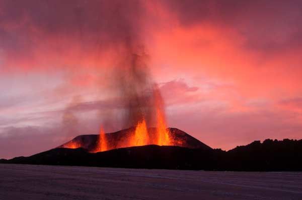
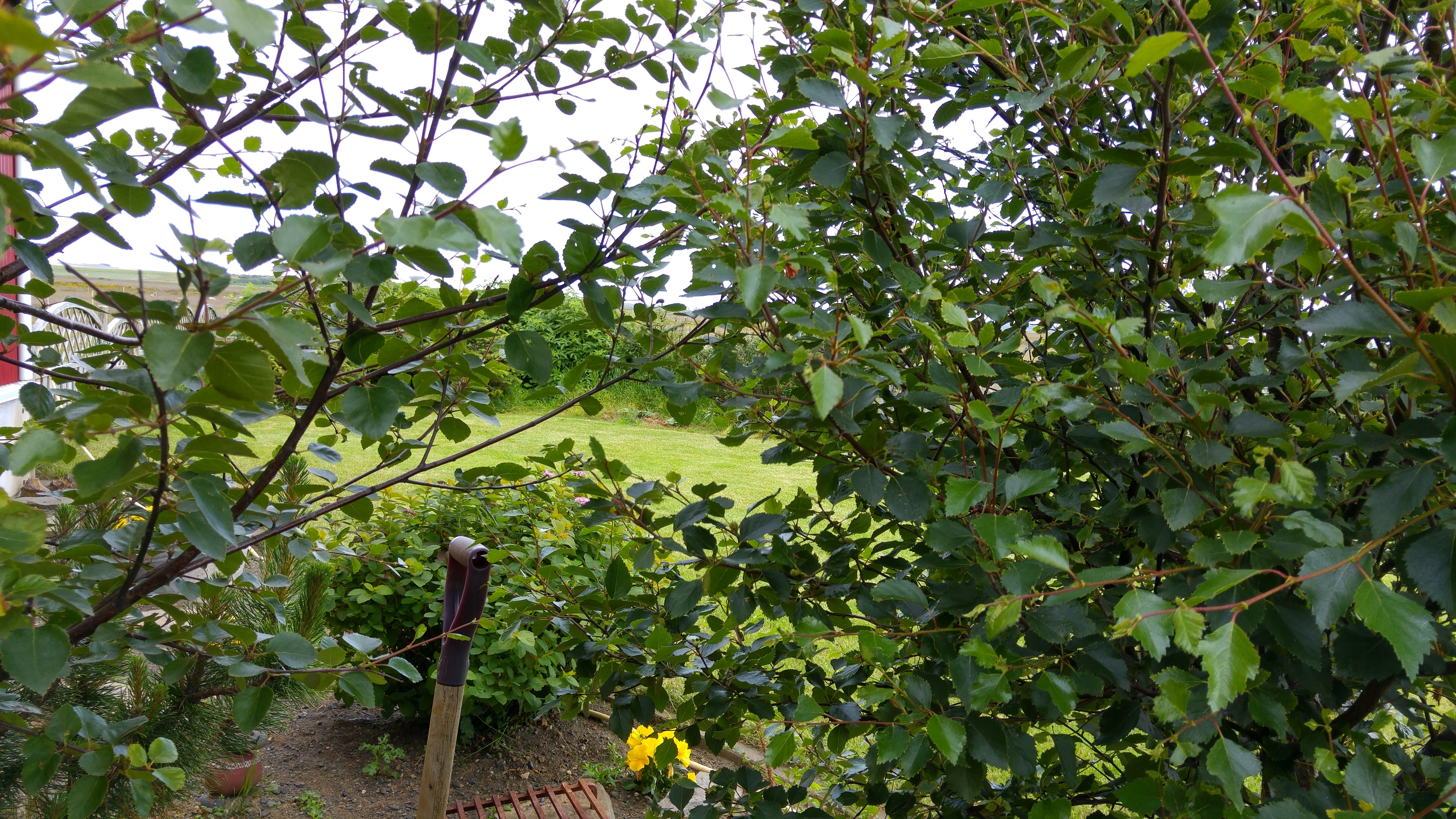
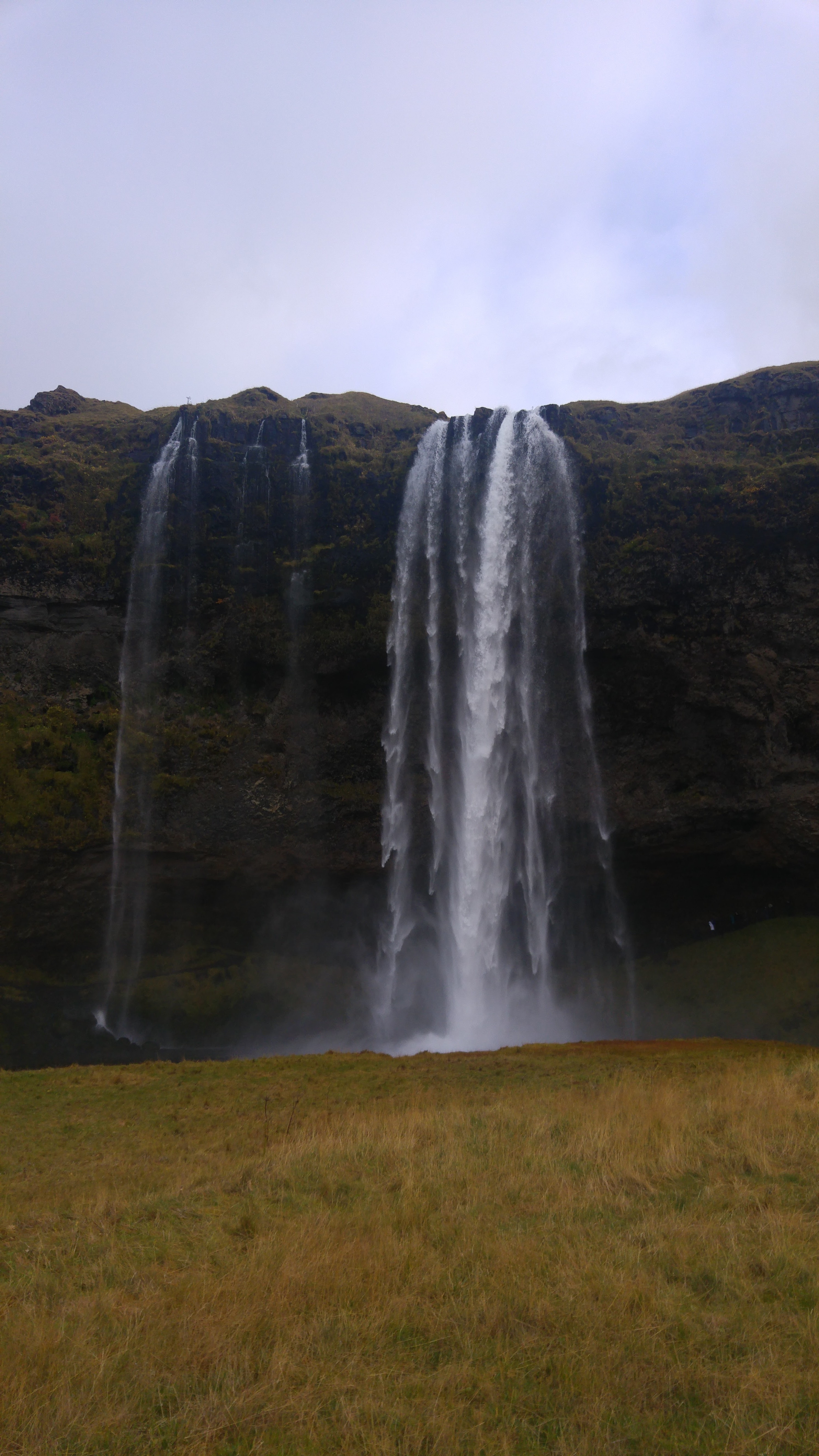
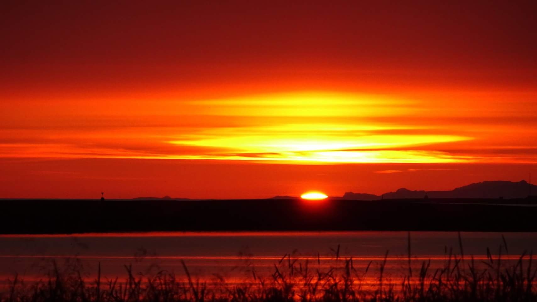
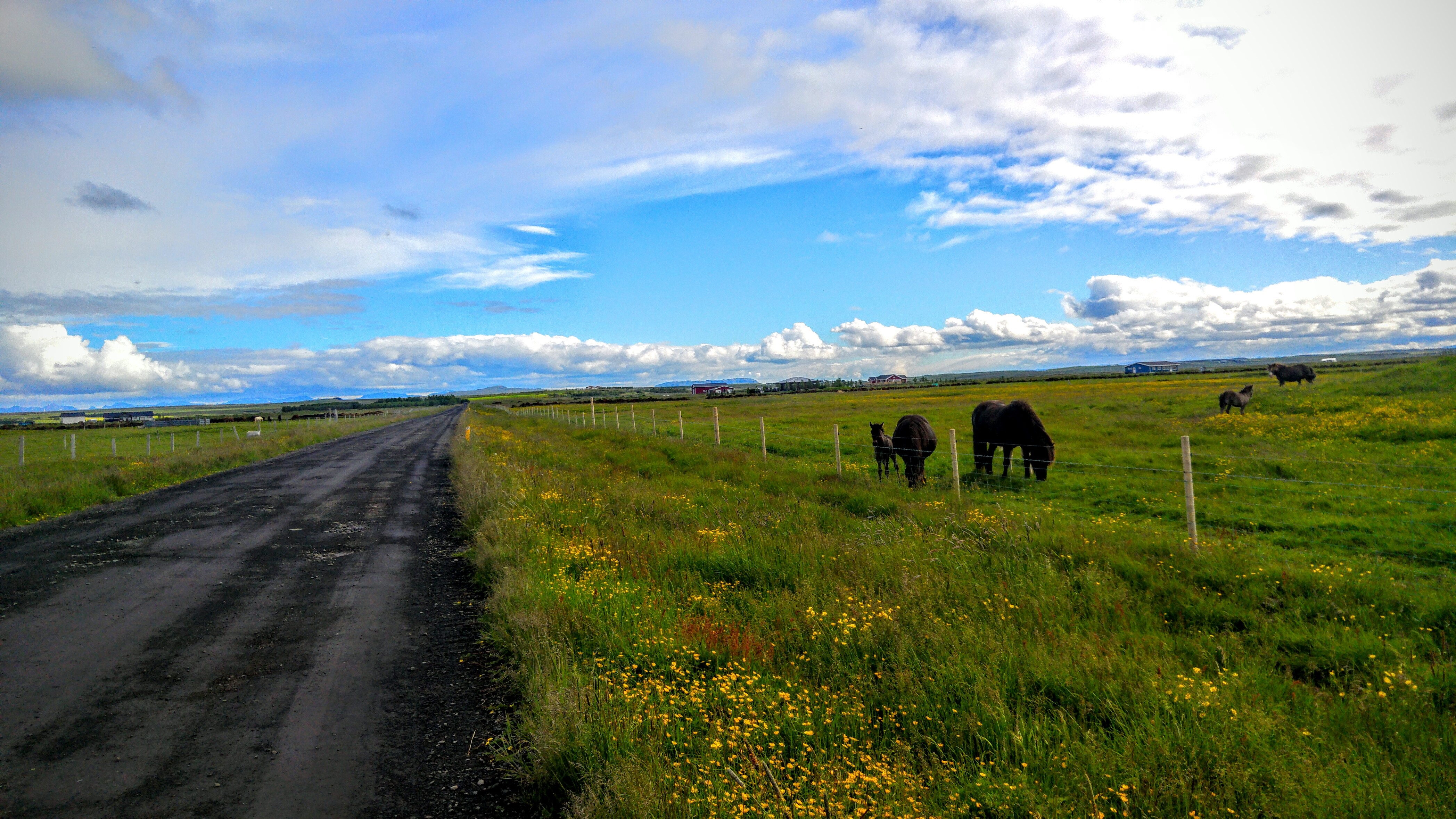
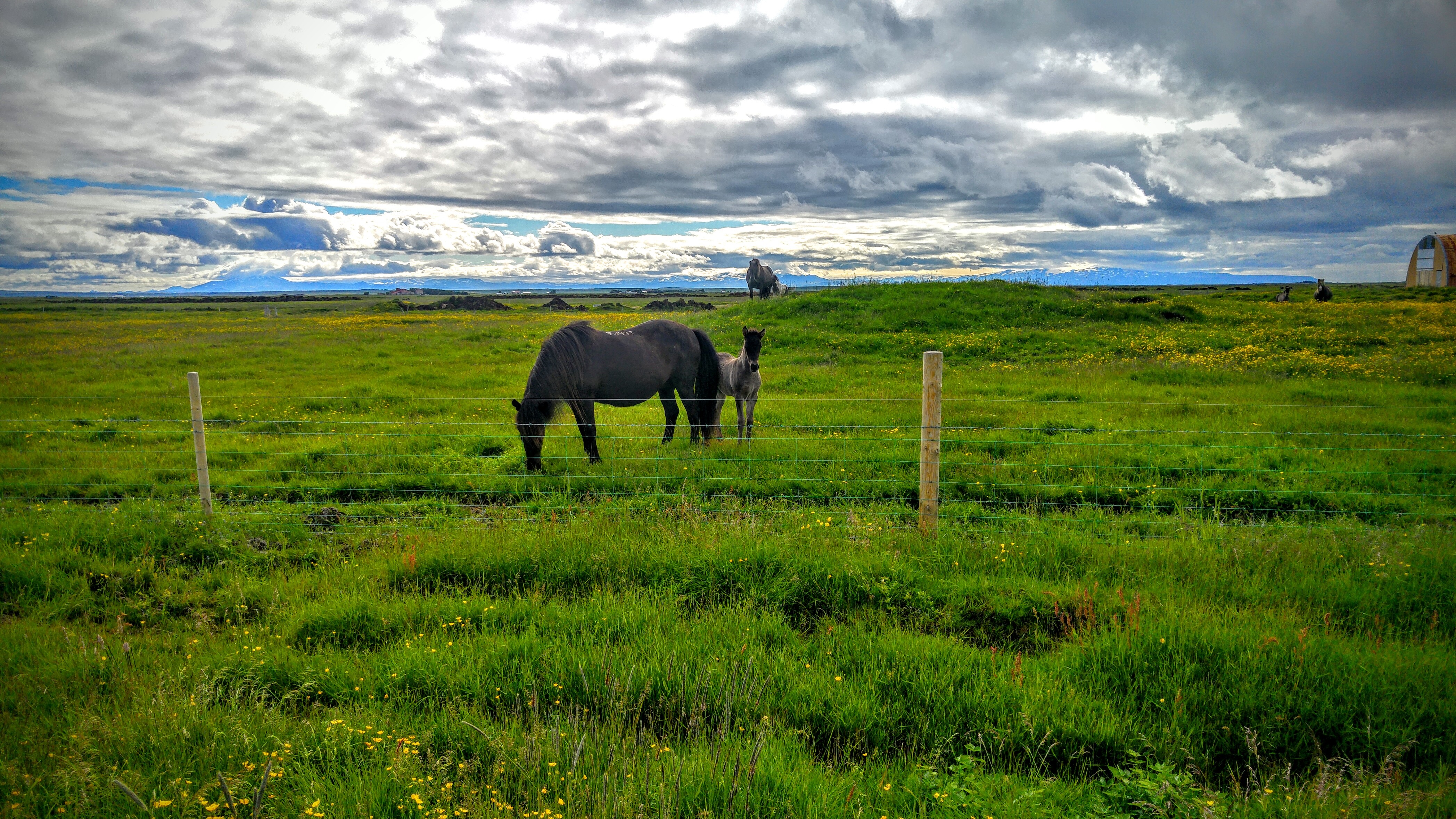
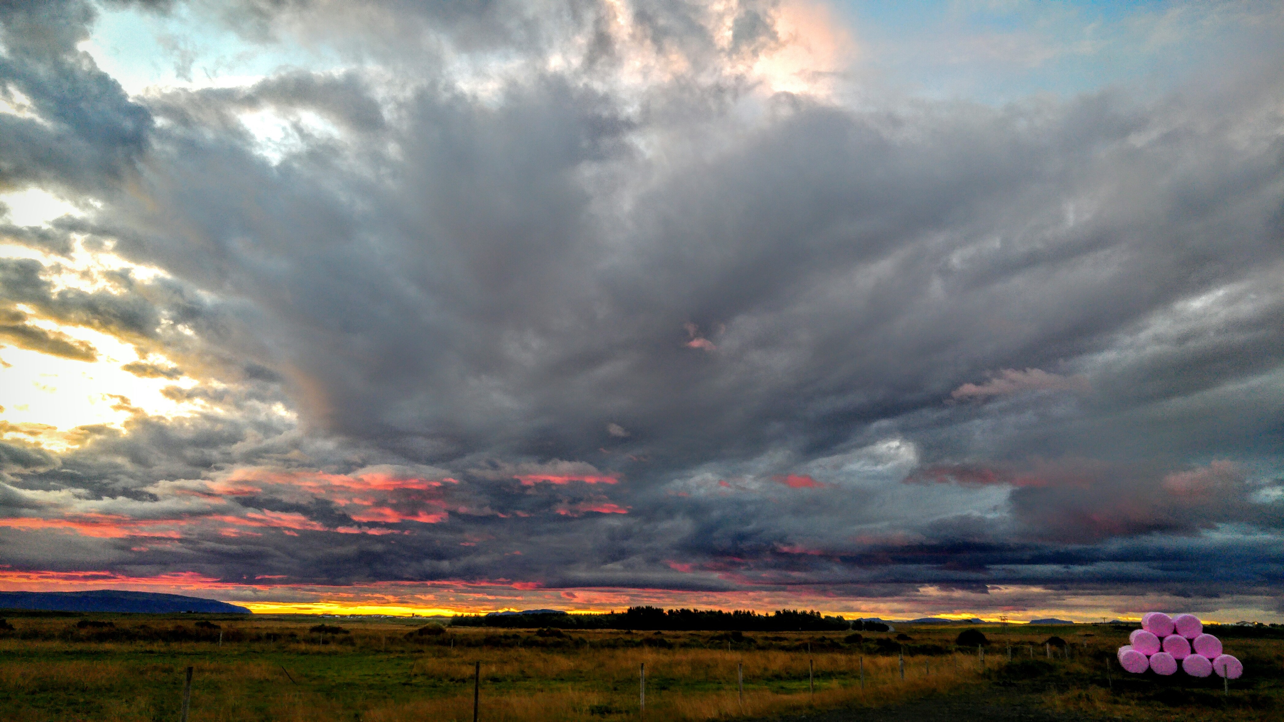
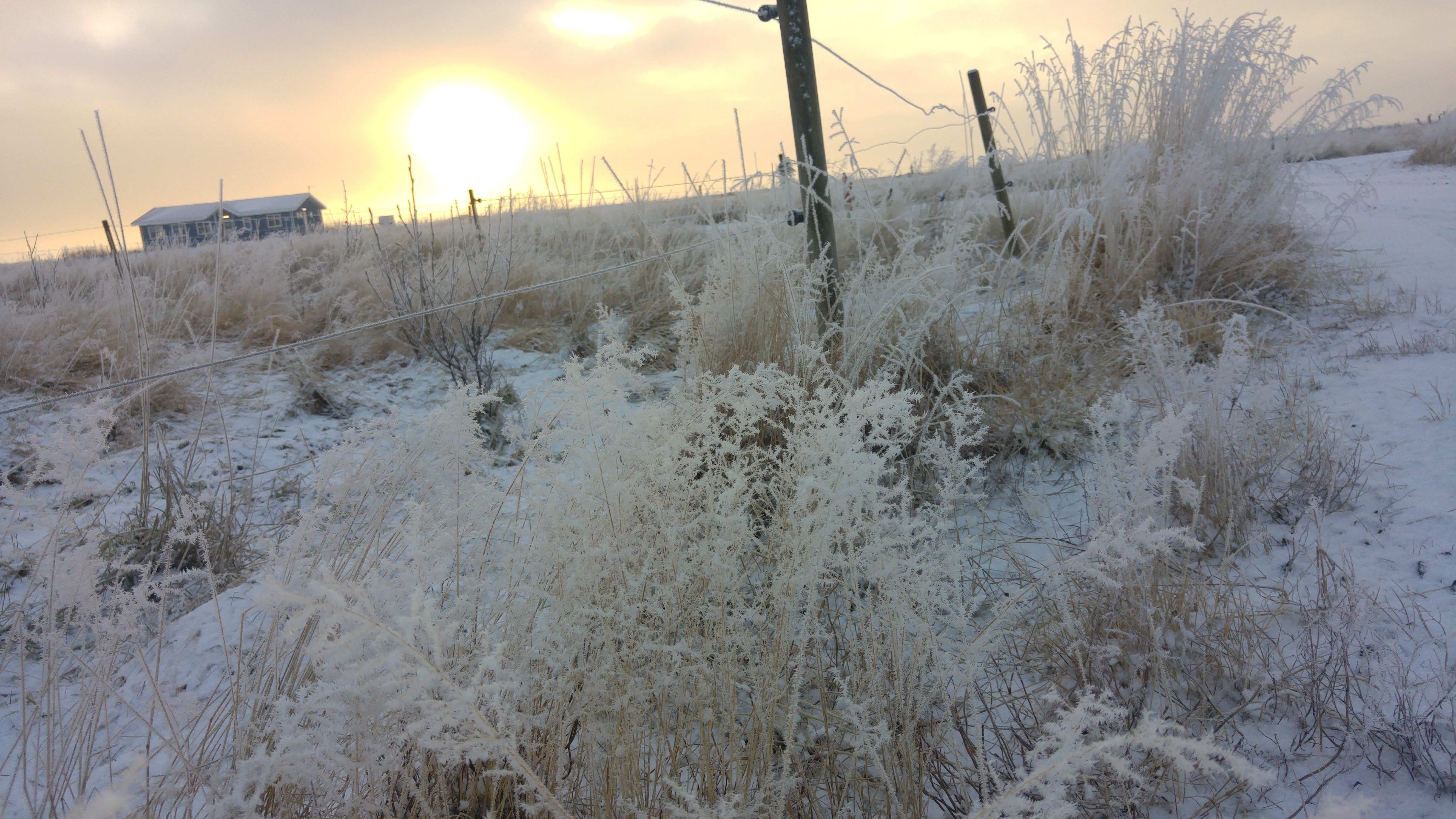
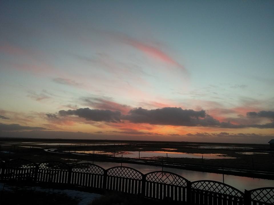
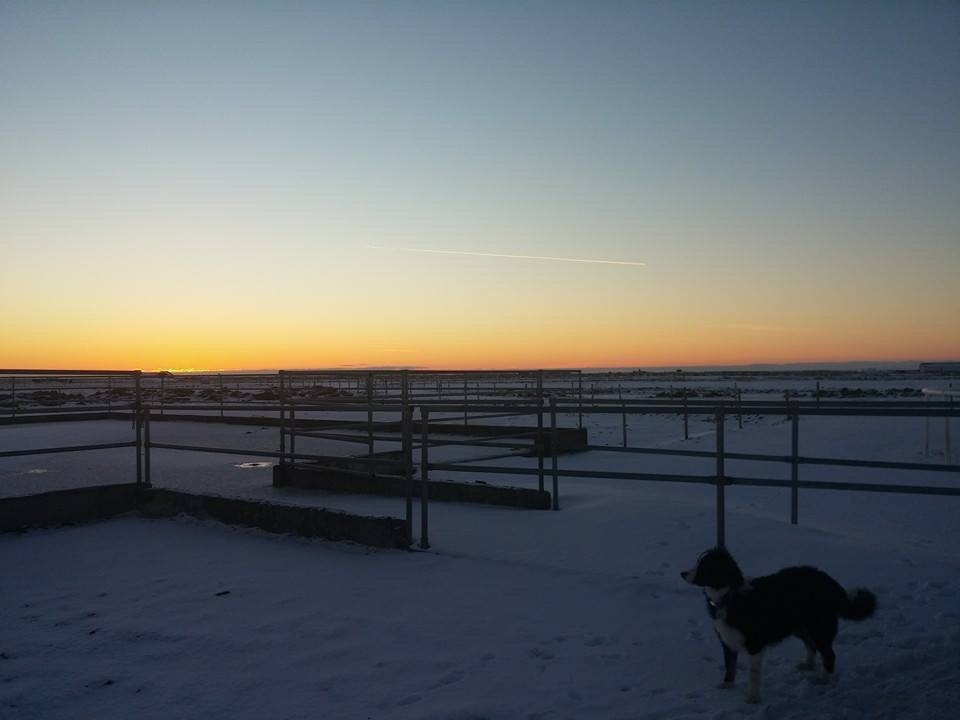
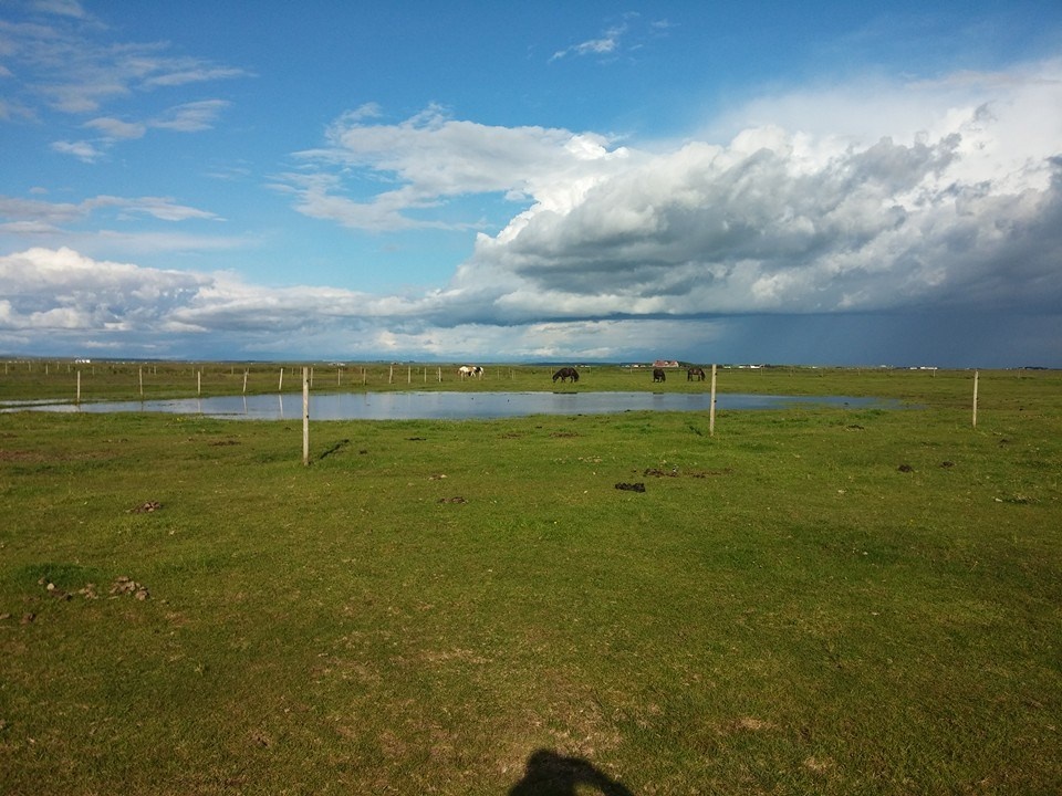
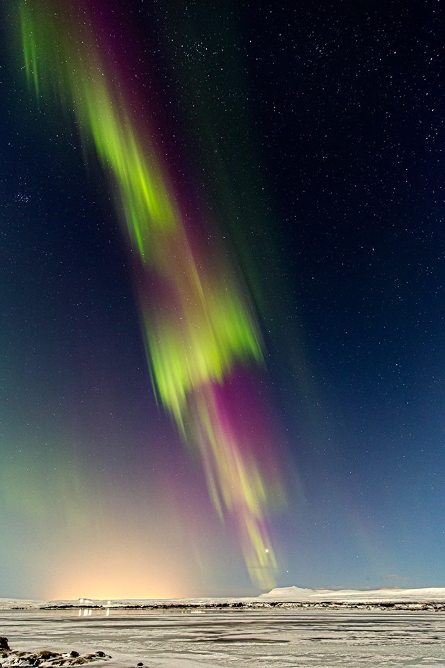
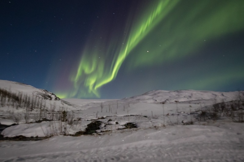
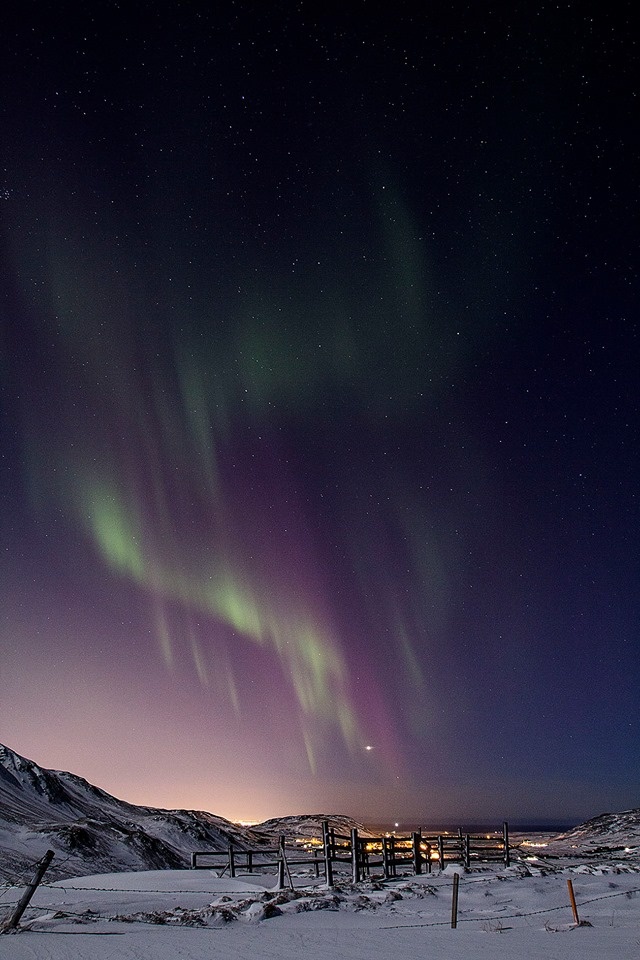
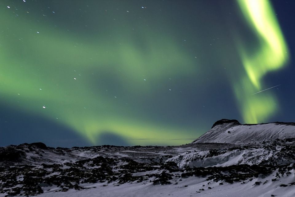
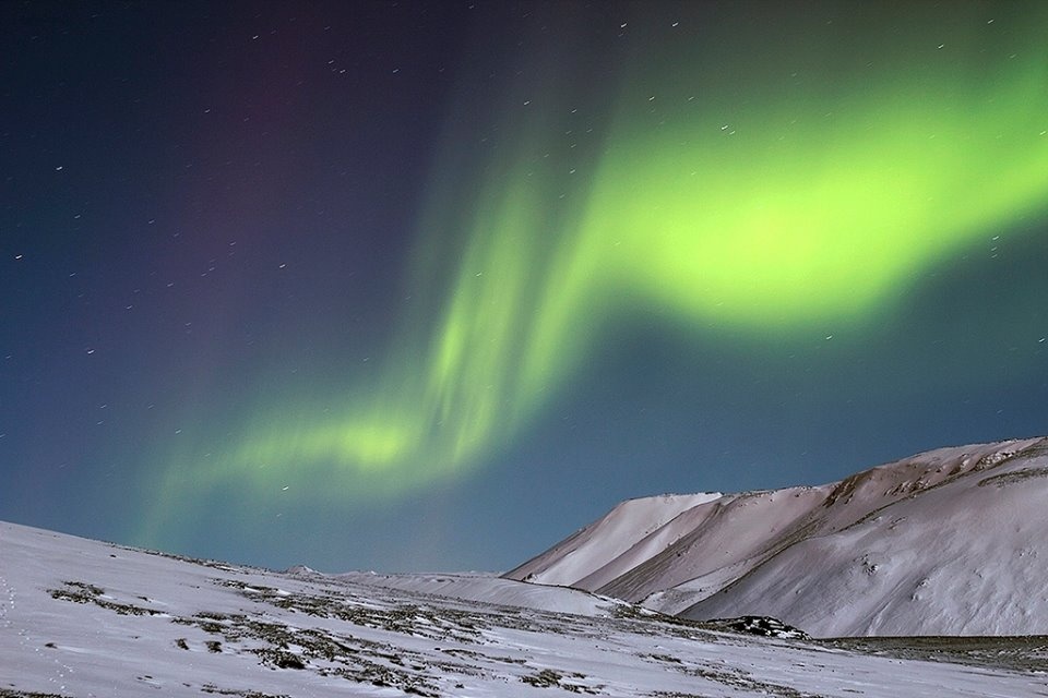
The south of Iceland abounds with magnificent and scenic locations well worth visiting. Winter in no way dimnishes the area’s beauty and provides its own opportunities. Sitting in the snow nursing a hot cup of cocoa, gazing
at the sky and watching the northern lights perform their exotic pirouettes should be on everyone´s bucket list.
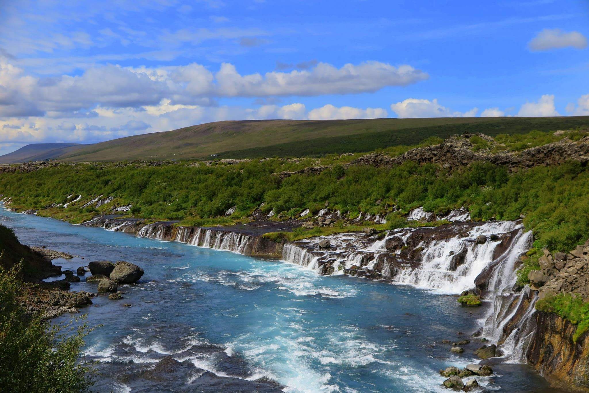
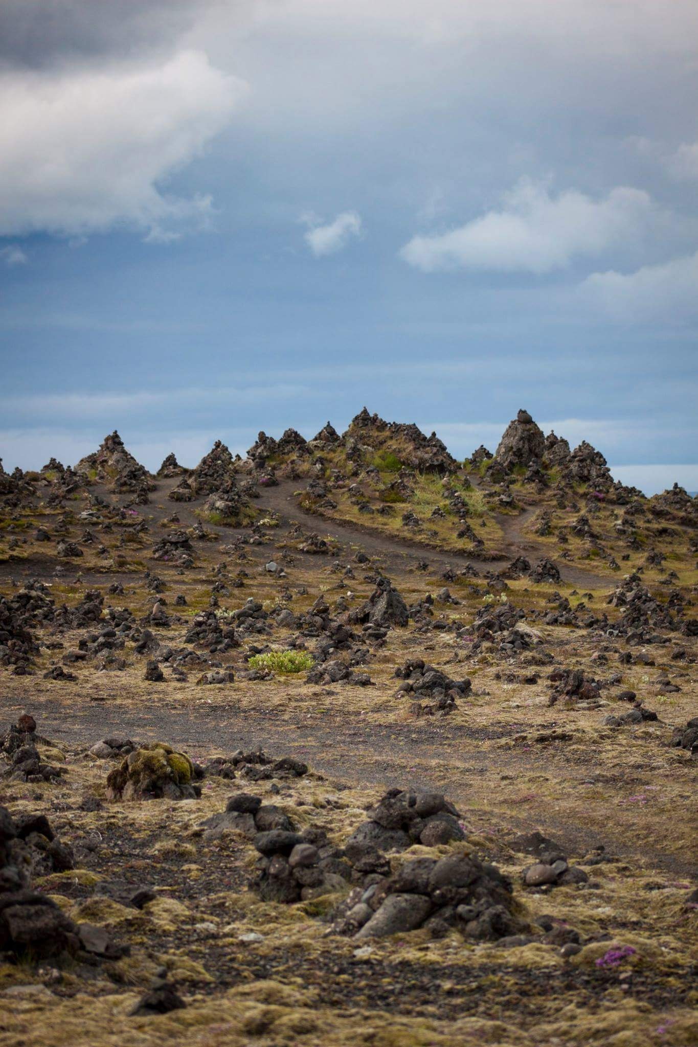
The southern part of Iceland shows some of the country’s most diverse nature. Glaciers, volcanoes, volcanic islands, geothermal
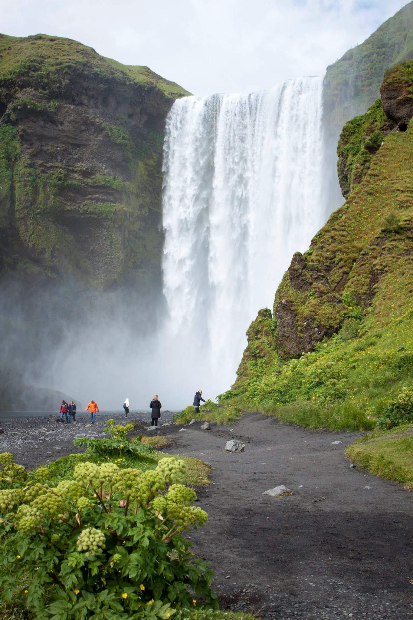
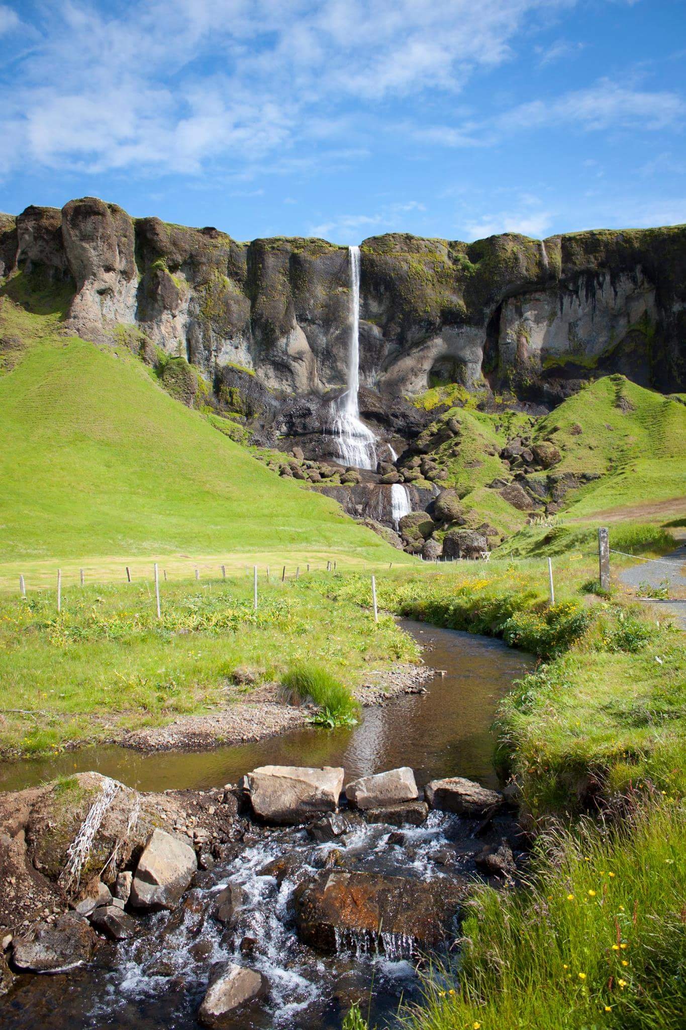
areas, glacial rivers, black sands, large meadows, marshes, lakes of all sorts, untouched highlands and long black beaches. Many places have become well known for their beauty and wonder, including the waterfalls Gullfoss, Háifoss, Seljalandsfoss and
Skógafoss. The south is rich with geothermal energy and is also home to the famous Geysir, whose name has become a synonym for erupting hot springs in several languages. The area surrounding Geysir has been designated a protected area.
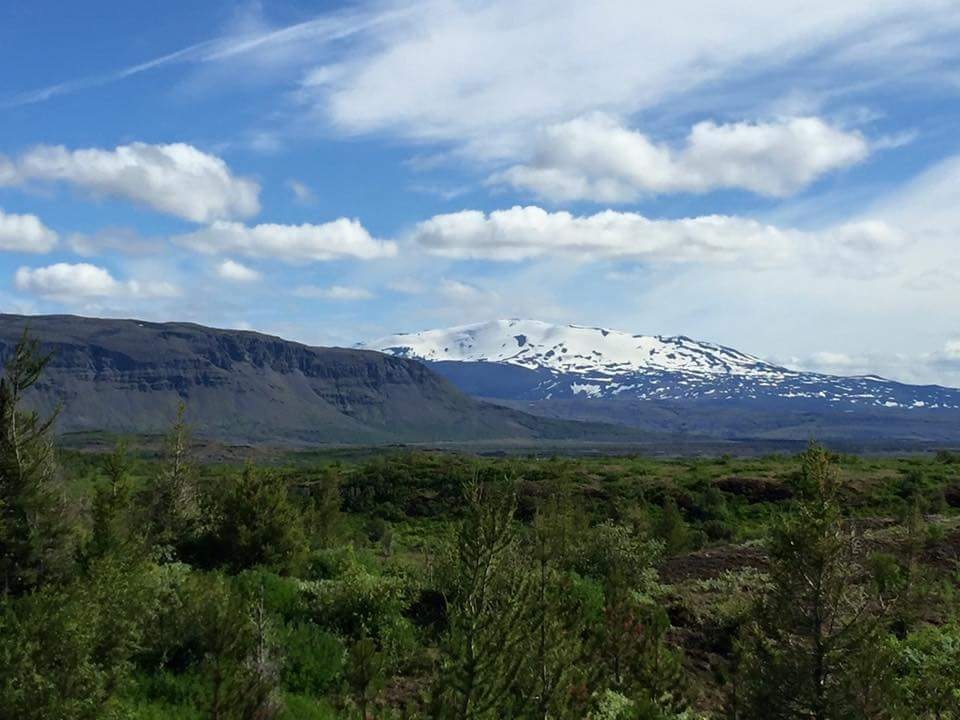
Mountain
Hekla – Volcano
Mt. Hekla is one of the most famous volcanoes in the world. An active volcano (a volcanic ridge) for centuries and a central volcano, Mt. Hekla has been an object of dread for centuries. Old tales tell of the belief that the souls
of the condemned traveled through Hekla’s crater on their way to hell. The whole mountain ridge of Hekla is about 40 km long. The fissure which splits the mountain ridge is about 5,5 km long. The mountain is about 1491 m high and it is rising and bulging.
Over the past 7000 years Hekla has had five big fissure eruptions. The biggest eruptions were 4000 and 2800 years ago. Traces of these two eruptions can be found in the soil in the North and the North-East of Iceland. The biggest layer of tephra from one eruption
fell in the eruption 2800 years ago. It covers about 80% of the country and its volume was around 12 cubic km. Traces of it has been found in various places all over Scandinavia and in parts of Europe. It is thought that Hekla has had at least twenty eruptions
since the settlement of Iceland. The biggest and first recorded eruption was in 1104, although very likely there had been many more during the time of Viking settlement. It is thought that Hekla has had at least twenty eruptions since the settlement of Iceland.
The biggest eruption was in 1104. Hekla has erupted five times in the 20th century, the last time in February 2000. The effects of the violent eruptions were disastrous. The whole island was covered with a layer of volcanic ash which poisoned the vegetation.
The livestock and cattle ate the poisonous vegetation and was attacked by murrain, and great numbers died.
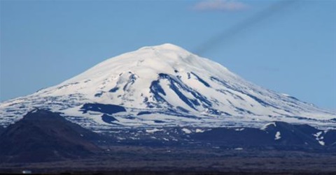
Hekla volcano
Latest comments
We have been there last year.
Now we are back
Dear Helena and Stefan,
staying in your home felt like being a part of the family. Thank you very much
Wolfgang & Sina
Hi Helena and Stefan, thank you for the wonderful time at your house! We loved being there and when we will return to Iceland one day, we will definitely come back
Hej!
Looking foreward to see you and Iceland 29 of june to 4 of july :)
Can you confirm the reservation?
Thank you in advance
Sincerely Niels Nyengaard, Denmark